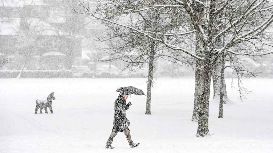
Climate scientists have identified a historic breakdown of the polar vortex, a band of strong westerly winds that typically confines frigid air to the Arctic region. This rare atmospheric event, documented in November 2026, has weakened the vortex’s structural integrity to record lows, thereby removing the barrier that usually prevents polar air from spilling into lower latitudes.
The disruption suggests that cold air masses are now more susceptible to drifting southward, posing an elevated risk of severe winter weather for regions including the northern United States and parts of Europe. While the immediate impact remains under monitoring, the intensity of this vortex collapse is comparable to previous major cold-air outbreaks that resulted in prolonged freezing temperatures and significant infrastructure stress.
Forecasters indicate that this development is a key indicator for long-range seasonal predictions. The weakening of the polar vortex is often linked to the development of strong ridges of high pressure, which can facilitate the southward migration of Arctic air. As such, meteorological agencies are advising the public and utility companies to prepare for potentially below-average temperatures in the coming weeks, marking a sharp contrast to the milder conditions experienced in earlier parts of the season.

Record lows? My pipes froze last year at forty. This sounds even worse. Hope the power grid holds up.
Is this directly linked to climate change? I heard the warming Arctic destabilizes the vortex, but I want more details.
Finally a serious cold snap. I was getting tired of the unseasonable warmth. Time to pull out the winter coats.